All year
Six waymarked walks starting from Albiez-Montrond
Croix du Châtel, the Mollard lake loop, the Montrond plateau, the Plaigne trail, the Cochette loop and the Contamines loop: times, height gain and turn-by-turn routes.
Albiez-Montrond had the good sense to waymark its trails and to spread them across every level. Six of them start from the village, from the Mollard hamlet, or from a car park a few minutes' drive away. Here they are, shortest to longest, with what you need to know before lacing up.
1. La Croix du Châtel — 30 minutes up
This one literally starts behind the residence. The Croix du Châtel stands at 1,754 m, 124 m above the car park (1,630 m), and takes half an hour to reach.
From the car park, follow the Chemin du Châtel to its end: it turns right and continues along the flank of the small mountain. Where the little road ends, take the path on the right that climbs to the cross.
Start: Chemin du Châtel, in the Mollard · Time: 30 min up · Height gain: 124 m
2. The Contamines loop — 40 minutes
A very flat loop from the village centre, just enough to leave the built-up part behind and open up the view. It starts on Rue Froide, opposite the Constantin bar and tobacconist; follow the street to the junction, turn right, and take the path that circles the Contamines hillock.
Note that this is a shared route: you will meet bikes and, in winter, husky teams. Stay alert and let them pass.
Start: Rue Froide, village centre · Time: 40 min · Height gain: 37 m · Distance: 2.2 km
3. The Mollard lake loop — 30 minutes
A family loop around the lake, beautifully exposed, starting straight from the apartment. It opens onto the Aiguilles d'Arves, the Étendard glacier and the Arvan valley, for barely 30 minutes of walking and almost no height gain.
The lake leads two lives: a snowmaking reservoir in winter, and a swimming spot in summer.
4. The Plaigne trail — 2 hours
An easy there-and-back leaving to the right of the Échaux chairlift, in the Mollard, from the car park opposite the Pierre aux Fées holiday centre. Little height gain, and an uninterrupted view of the Aiguilles d'Arves, the Montrond plateau, the Mont Emy and the Grande Chible.
- Follow the track to the junction with the path up to the Trapanel mountain restaurant, then carry straight on along the Plaigne trail.
- Wind through several combes until you reach a cross with a picnic table facing it: that is the end of the route.
- Return the same way.
Safety: going beyond the turnaround point is strongly discouraged. The combes you would have to cross make the sector avalanche-prone.
Start: Échaux chairlift, in the Mollard · Time: 2 h · Height gain: 200 m · Distance: 5 km
5. The Cochette loop — 3 hours
An 8 km loop from the village centre, with views of the Lâcha ridges, the village of Albiez-le-Jeune and the fairy chimneys. It is also the richest of the six in terms of heritage: you cross a mountain belt where every scrap of land was once cultivated — barley, rye, potatoes, flax, beet — and where the broues, the terrace banks often lined with maples, marked the field boundaries.
- From the village centre, take the RD80 towards Albiez-le-Jeune for 100 m.
- Leave the RD80 on a road to the left.
- At the junction, right towards Les Crozets, as far as the La Côte crossroads.
- Turn left; the track drops to the Bois du Nez crossroads.
- Straight on along the grassy track to the hamlet of La Cochette — the view of Le Moine de Champlan opens up repeatedly.
- From La Cochette, follow signs for Le Villard Sambuis.
- 100 m of road, then the track on the left. At Villard Sambuis, skirt the small hill, come back towards La Cochette and rejoin the Les Crozets crossroads.
- Return to the village by the outward path.
Start: Albiez-Montrond village centre · Time: 3 h · Height gain: 245 m · Distance: 8 km
6. The Montrond plateau from Le Chalmieu — 3 h 30
The longest of the six, and the only one requiring a car: 7.5 km from the apartment, about 15 minutes. In winter it doubles as a snowshoe and cross-country ski route.
From the Chalmieu hamlet car park, look for the purple start sign. The path climbs towards the "Relai TV", alternating stretches of trail with short sections of road (10 m each time): Combet du Dessus, the Oratory, Ordière Dessous then Ordière Dessus, the Fontaine de l'Âne. At the Relai TV, follow the track towards Les Chabottes, where the easy promenade forms a loop. Return by the same route.
Orientation tables on site let you name the surrounding summits. The path winds through the heart of the high pastures, below the Aiguilles d'Arves.
Start: Chalmieu hamlet car park (7.5 km) · Time: 3 h 30 · Height gain: 424 m
Walking with a guide
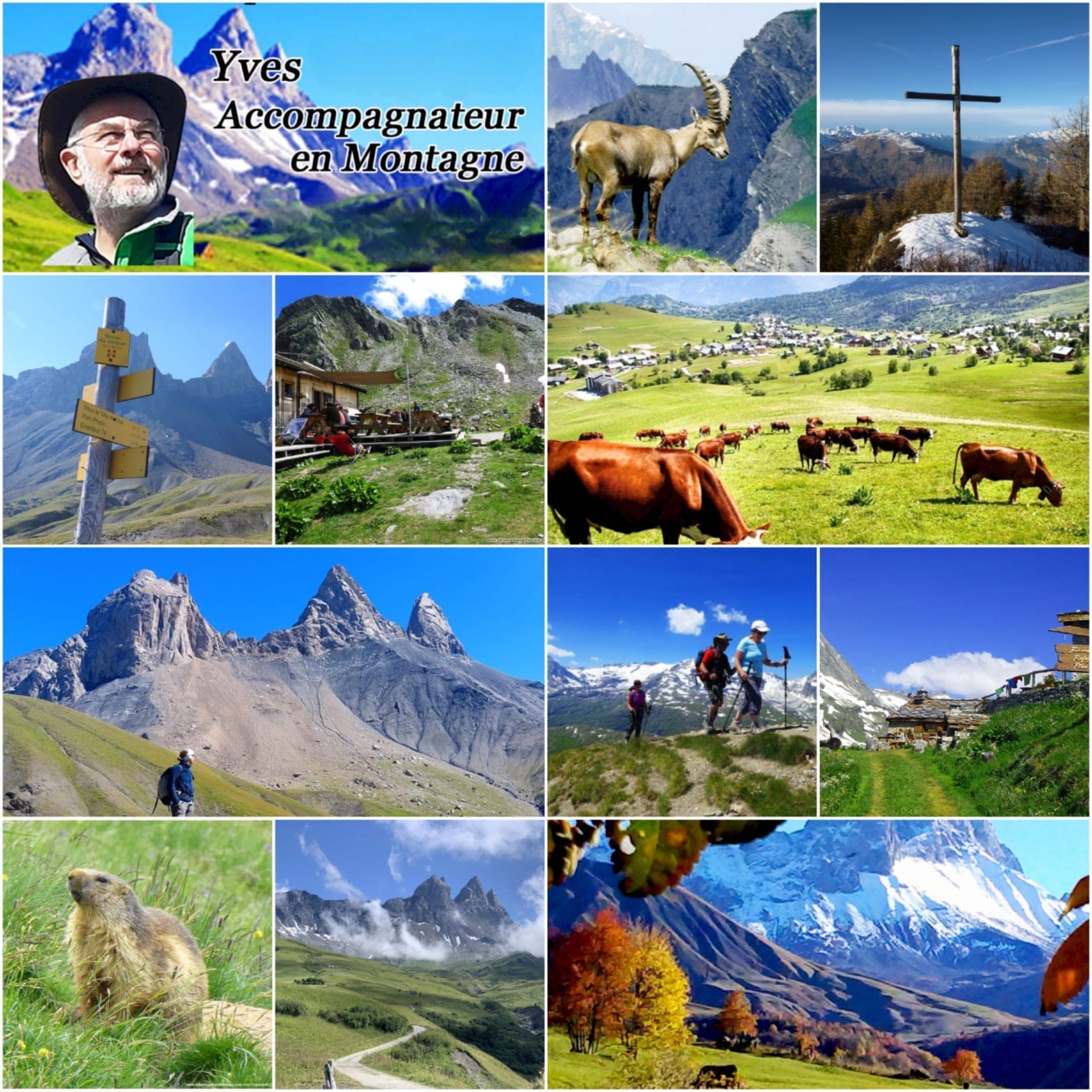
Yves Vionnet, a mountain leader based in Albiez, runs guided walks in Albiez, in the Vanoise and further afield — spring or autumn, summer or winter, with or without snowshoes. It is the right option for the wildlife, the plants and the history of the place, none of which a route card tells you.
More to the point, he works all year round, off-season included. That is an exception in the resort: when the lifts are shut and half the shops have pulled the shutters down, in April or October, he is still a way to fill a day in the mountains.
Albiez Randonnée Patrimoine — Yves Vionnet
albiezrandopatrimoine.com
The Albiez-Montrond tourist office, in the village centre, also sells route guides covering four sectors, including Albiez-Montrond and Albiez-le-Jeune.
What about winter?
Three of these routes (Contamines, La Plaigne, Le Chalmieu) work on snowshoes. For the rest of the cold season, everything happens on the ski area, 250 m from the apartment.
Read next
- The festivals of the Arves valley, sorted by driving timeIn the mountains, a village you can see from the balcony may be an hour away by road. Hence the ranking.
- Turin from Albiez: a day out, or the next legThe first major Italian city sits on the other side of the massif, not at the end of a journey.
- Food shopping in Albiez-Montrond: village shops and the stop in Saint-JeanThe sensible routine: the big shop in Saint-Jean on the way up, top-ups and Savoyard produce in the village.